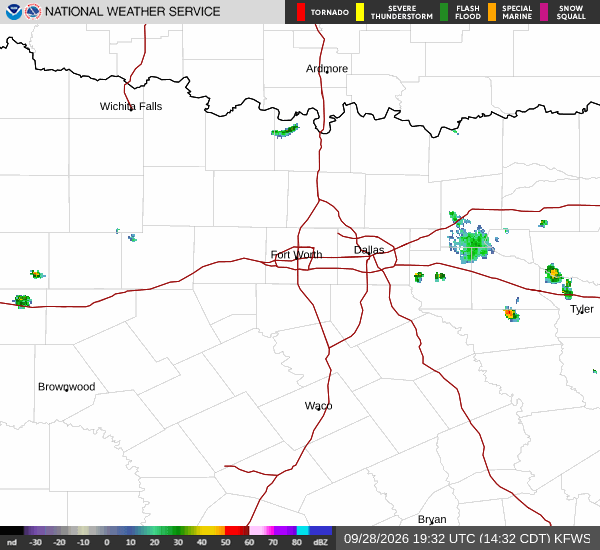
The flood watch for Grayson County now reaches into Friday morning, giving Howe residents a reason to check their emergency contacts before heavy rain develops.
The National Weather Service says the watch begins at 4 p.m. Wednesday, Sept. 30, and ends at 7 a.m. Friday, Oct. 2. Slow-moving showers and thunderstorms are expected to produce 2 to 4 inches of rain across the broader watch area, with localized amounts of 4 to 6 inches.
Runoff could flood creeks, streams and low-lying locations. Low-water crossings are specifically identified in the alert. The forecast does not identify a particular Howe road as closed or establish how much rain will fall at an individual address.
Howe's CodeRED system can contact all or selected parts of the community when an emergency requires action. The city says cellphones can be registered, but the system needs a valid physical street address. Residents who update their information should complete the registration screens because newly entered details replace older information.
Grayson County separately offers an opt-in weather-warning feature through CodeRED. Check that option as well as the phone number and address associated with an account.