Back to Weather

5-day forecast / Howe, TX

FridaySlight Chance Rain Showers95° / 79° 2%
SaturdayMostly Sunny98° / 79° 1%
SundaySunny100° / 80°
MondaySunny101° / 80°
TuesdaySunny101° / 81°

Heat Advisory in Effect for Howe as Temperatures Climb to 98F - Jul 24, 8 AM

Howe's hometown forecast, updated every four hours — straight from the National Weather Service.

A Heat Advisory is active for Howe, TX, with highs near 98F and heat index values reaching 104F. Current conditions are oppressively humid with a dew point of 75F.

Bree Tanaka

July 24, 20262 min read

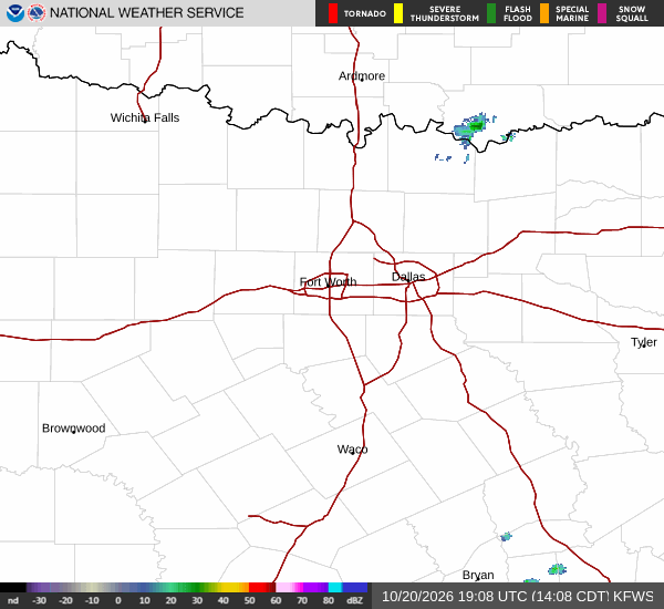
National Weather Service radar for North Texas (KFWS)

*As of Jul 24, 8 AM local time.*

Current Conditions and Alert Status

A Heat Advisory is currently in effect for Howe, Texas, signaling moderate severity and expected urgency. Residents are advised to take precautions as the region heads into a period of significant heat. The National Weather Service has issued this alert to highlight the potential for dangerous heat index values.

Right now, the air temperature stands at 77F, though it feels like 79F due to the moisture in the air. The relative humidity is at 94%, creating an oppressively humid atmosphere with a dew point of 75F. Skies are currently overcast, and winds are blowing from the south at 6 mph, with gusts reaching up to 13 mph.

Forecast for Today and Tomorrow

Today, the sky will clear to partly sunny conditions. Highs will reach near 95F, while lows will settle around 79F. The chance of precipitation is minimal at 6%. However, the heat index will climb to as high as 103F. South winds will pick up, blowing between 10 to 15 mph.

Tonight, skies will become partly cloudy. Temperatures will drop to a low around 79F, but will rise to approximately 81F overnight. The heat index will remain elevated, reaching up to 103F. South winds will continue at 10 to 15 mph.

Tomorrow, the heat will intensify with mostly sunny skies. Highs will approach 98F, with lows near 79F. The chance of rain drops to just 1%. The heat index is expected to peak at 104F. Winds will shift to the south southwest at around 10 mph, with gusts as high as 20 mph.
Safety Reminders

With heat index values exceeding 100F, it is crucial to stay hydrated and limit time spent outdoors, especially during the hottest parts of the day. Check on neighbors and vulnerable individuals who may be at higher risk from heat-related illnesses. Wear lightweight, light-colored clothing and seek air-conditioned environments when possible. If you must be outside, take frequent breaks in the shade.

National Weather Service radar for North Texas (KFWS)

Sources

https://radar.weather.gov

https://api.weather.gov

https://open-meteo.com

Share

Bree Tanaka

Bree Tanaka covers weather, the outdoors, and seasonal life in and around Howe.

Related Stories

More in Sport

Sport

Late Drama at Providence Park Ends in Stalemate

Portland Timbers and FC Dallas shared the points in a 2-2 draw at Providence Park on Thursday, with late goals from Felipe Mora and Petar Musa canceling each other out.

Emmett HollisJuly 23, 20261 min read