Back to Weather

5-day forecast / Howe, TX

TuesdaySunny100° / 79°
WednesdaySunny100° / 79°
ThursdayMostly Sunny100° / 80° 1%
FridayMostly Sunny101° / 80° 4%
SaturdaySunny98° / 73° 7%

Heat Advisory in Effect for Howe as Temperatures Climb Near 100 - Jul 28, 4 AM

Howe's hometown forecast, updated every four hours — straight from the National Weather Service.

A Heat Advisory is active for Howe, TX, with highs near 100F and heat index values up to 106. Current conditions are hot and humid.

Bree Tanaka

July 28, 20262 min read

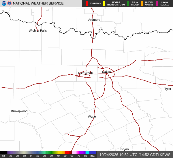
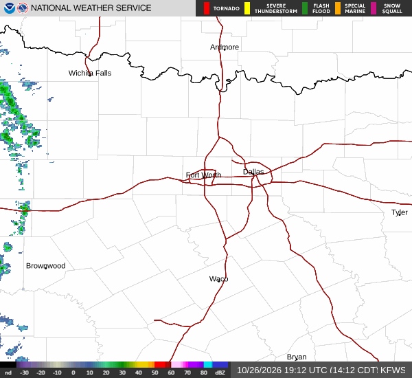
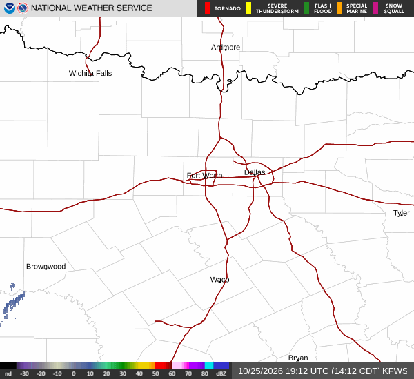
National Weather Service radar for North Texas (KFWS)

*As of Jul 28, 4 AM local time.*

Current Conditions and Alert Status

A Heat Advisory is currently in effect for Howe, Texas, signaling dangerous heat levels for the area. The advisory, issued by the National Weather Service in Fort Worth, remains active until 8:00 PM CDT on July 28. Residents should take this moderate-severity alert seriously as temperatures rise significantly over the next several hours.

Right now, it is Tuesday overnight. The air temperature stands at 81F, but the combination of heat and moisture makes it feel like 84F. The relative humidity is at 69%, with a dew point of 70F, indicating quite humid conditions.

Winds are blowing from the south at 10 mph, with gusts reaching up to 18 mph. The sky remains clear, offering no relief from the warmth.

Forecast for Today and Tomorrow

Today will be sunny with a high near 100F. The National Weather Service reports heat index values as high as 106, meaning the air will feel significantly hotter than the actual temperature. Winds will be from the south southwest at 5 to 10 mph. There is a 0% chance of precipitation, so the heat will be unbroken by rain.

Tonight, skies will be mostly clear. Temperatures will drop to a low around 79F, though they may rise slightly to around 81F later in the night. Heat index values will remain high, reaching up to 105. Winds will continue from the south at 5 to 10 mph.
Tomorrow mirrors today’s intensity. Expect another sunny day with a high near 100F and heat index values peaking at 106. Winds will remain light from the south southwest at 5 to 10 mph. No rain is expected, keeping the humidity and heat consistent. Tomorrow night will bring partly cloudy skies and a low around 79F.

Safety Reminders

Given the active Heat Advisory and high heat index values, it is crucial to stay cool. Hydrate frequently and limit midday exertion to avoid heat-related illnesses. Check on elderly neighbors or those without air conditioning, as extreme heat can be dangerous for vulnerable populations. Keep vehicles parked in the shade when possible, and never leave people or pets inside closed cars.

National Weather Service radar for North Texas (KFWS)

Sources

https://radar.weather.gov

https://api.weather.gov

https://open-meteo.com

Share

Bree Tanaka

Bree Tanaka covers weather, the outdoors, and seasonal life in and around Howe.

Related Stories

More in Sport