Back to Weather

5-day forecast / Howe, TX

FridayMostly Sunny101° / 78° 5%
SaturdaySunny94° / 72° 9%
SundaySunny93° / 72°
MondaySunny95° / 74° 1%
TuesdaySunny99° / 77° 2%

Heat Advisory in Effect for Howe as Temperatures Soar - Jul 30, 5 PM

Howe's hometown forecast, updated every four hours — straight from the National Weather Service.

A Heat Advisory is active for Howe, TX, with heat index values reaching 108 degrees. Residents are urged to stay cool and hydrated during this period of dangerous heat.

Bree Tanaka

July 30, 20262 min read

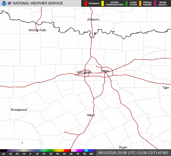
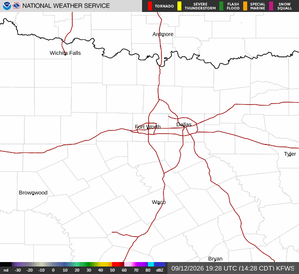
National Weather Service radar for North Texas (KFWS)

*As of Jul 30, 5 PM local time.*

Dangerous Heat Conditions Underway

A Heat Advisory is currently in effect for Howe, Texas, signaling moderate severity and expected urgency from the National Weather Service. The advisory remains active until late tomorrow evening. Right now, the air temperature stands at 99 degrees Fahrenheit, but the combination of heat and humidity makes it feel like 106 degrees.

The relative humidity is at 40 percent, with a dew point of 70 degrees, creating a muggy atmosphere that intensifies the perceived heat.

Forecast for Today and Tomorrow

Today will be mostly sunny with a high near 99 degrees. There is only a one percent chance of precipitation. Winds will be from the south around 10 mph.

Overnight, skies will clear to mostly clear conditions, allowing temperatures to drop to a low near 79 degrees, though they may rise slightly to around 81 degrees later in the night. Heat index values are expected to reach as high as 107 degrees even after sunset.

Tomorrow brings continued hot and sunny weather with a high near 101 degrees. The heat index will climb further, reaching up to 108 degrees. Winds will shift to the southwest around 10 mph, with gusts potentially hitting 20 mph. There is a five percent chance of rain during the day.

Looking ahead to tomorrow night, conditions will become partly cloudy with a slight chance of showers and thunderstorms between 10 pm and 1 am. The low will settle near 78 degrees, rising to around 80 degrees overnight. Heat index values will remain high at 107 degrees.
Winds will decrease to the west southwest at 5 to 10 mph, with a twenty percent chance of precipitation. Any rainfall amounts are expected to be less than a tenth of an inch.

Safety Reminders

Given the active advisory and extreme heat index values, it is critical to prioritize safety. Stay hydrated by drinking plenty of water throughout the day. Limit outdoor exertion, especially during the midday hours when temperatures peak. Check on elderly neighbors or those without air conditioning to ensure their well-being. If you must be outside, seek shade frequently and wear lightweight, light-colored clothing.

National Weather Service radar for North Texas (KFWS)

Sources

https://radar.weather.gov

https://api.weather.gov

https://open-meteo.com

Share

Bree Tanaka

Bree Tanaka covers weather, the outdoors, and seasonal life in and around Howe.

Related Stories

More in Sport