Back to Weather

5-day forecast / Howe, TX

SaturdayMostly Sunny99° / 76° 13%
SundaySunny98° / 77°
MondaySunny97° / 77° 1%
TuesdaySunny98° / 78°
WednesdaySunny98° / 78° 1%

Dangerous Heat Index Hits 104 in Howe as Temperatures Climb - Aug 8, 1 PM

Howe's hometown forecast, updated every four hours — straight from the National Weather Service.

Howe residents face dangerous heat today with a feels-like temperature of 104F. Humidity levels are high, creating hazardous conditions for outdoor activities.

Bree Tanaka

August 8, 20262 min read

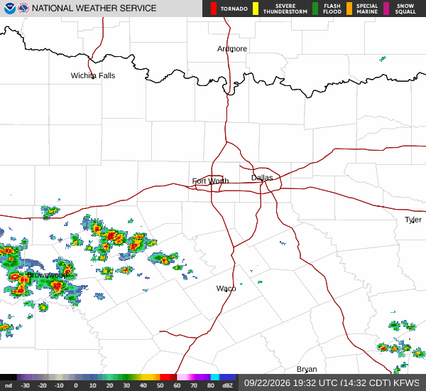
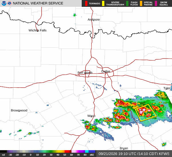
National Weather Service radar for North Texas (KFWS)

*As of Aug 8, 1 PM local time.*

Dangerous Heat Conditions Today

A significant heat event is currently affecting Howe, TX, with air temperatures reaching 97F while the heat index makes it feel like 104F. This dangerous combination of extreme heat and humidity creates a high-risk environment for anyone spending time outdoors.

The relative humidity stands at 42%, with a dew point of 70F, indicating substantial moisture in the air that hinders the body's ability to cool itself through evaporation.

Current skies are clear, but the sun’s intensity is driving these elevated feels-like temperatures. Winds are blowing from the south at 10 mph, with gusts reaching up to 6 mph, offering little relief from the oppressive warmth. The National Weather Service has not issued any active weather alerts, watches, or advisories for this area at this time.

However, the lack of an official warning does not diminish the immediate health risks associated with such high heat indices.

Forecast Outlook

Looking ahead, conditions will remain hot but slightly less intense in terms of the heat index. Today is expected to be mostly sunny with a high near 99F. Temperatures are forecast to fall to around 97F in the afternoon, with heat index values peaking at 101. South winds will shift to around 5 mph during the day.

Tonight, skies will clear out, becoming mostly clear as temperatures drop to a low near 76F. Despite the cooling trend overnight, heat index values may still reach 101 due to lingering humidity. Winds will pick up slightly, blowing south at 5 to 10 mph. Overnight lows might rise to around 78F.
Tomorrow brings sunny skies with a high near 98F. The heat index is expected to remain high, with values as high as 101. South winds will continue at 5 to 10 mph.

Tomorrow night will be clear with a low around 77F, though temperatures may rise to around 79F overnight. Heat index values will drop slightly to a high of 98, with south winds around 10 mph.

Safety Reminders

Given the dangerous heat index values today and tomorrow, it is crucial to stay hydrated and limit midday exertion. Check on neighbors, especially the elderly and those without air conditioning. Never leave people or pets in parked vehicles. Seek air-conditioned spaces during the hottest parts of the day to avoid heat-related illnesses.

National Weather Service radar for North Texas (KFWS)

Sources

https://radar.weather.gov

https://api.weather.gov

https://open-meteo.com

Share

Bree Tanaka

Bree Tanaka covers weather, the outdoors, and seasonal life in and around Howe.

Related Stories

More in Sport