*As of Aug 9, 5 PM local time.*
Current Conditions and Immediate Risks
Dangerous heat is currently gripping Howe, Texas, as the air temperature stands at 99F while the heat index pushes the feels-like temperature to a sweltering 103F. This significant disparity between the actual air temperature and the perceived heat is driven by a relative humidity of 35% and a dew point of 66F.
These atmospheric conditions make it feel much hotter than the thermometer reads, increasing the risk of heat-related illnesses for anyone spending time outdoors.
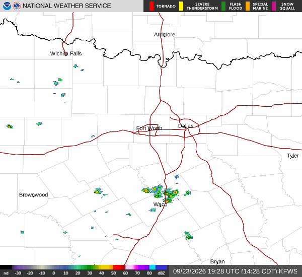
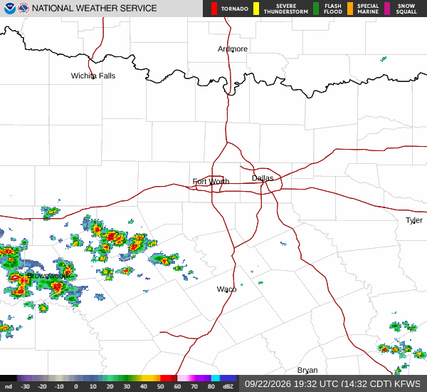
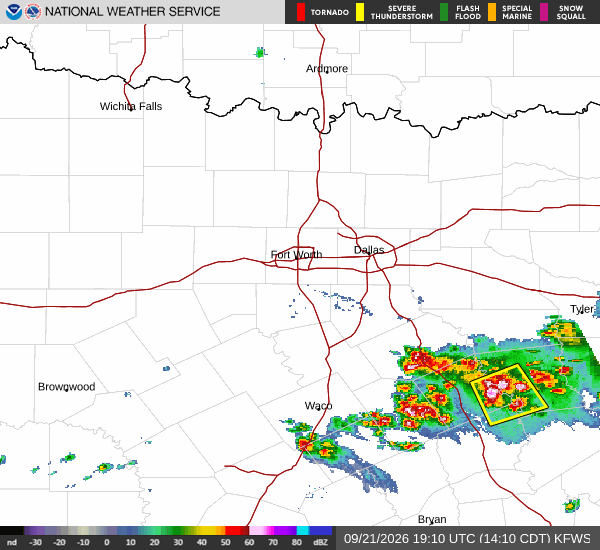
The sky remains mostly clear this evening, offering little relief from the day's warmth. Winds are blowing from the south at 10 mph, with gusts reaching up to 14 mph. While these breezes provide minimal cooling in such high temperatures, they help circulate the hot air across the region.
Residents should be aware that the combination of high heat and moderate humidity creates a hazardous environment where the body struggles to cool itself effectively through sweat evaporation.
Forecast for Today and Tomorrow
The National Weather Service forecasts continued sunny skies for today, with a high near 98F. The heat index is expected to reach values as high as 102 during the peak afternoon hours. South winds will remain around 10 mph throughout the day.
As evening approaches tonight, conditions will clear up completely, allowing temperatures to drop to a low near 76F. However, the heat will linger slightly longer than usual, with temperatures rising to around 78F overnight. The heat index will still climb to as high as 99 during this period, meaning the oppressive feeling of heat will persist well into the night.
Tomorrow brings no significant change in pattern. Sunny skies will dominate again, leading to a high near 98F. The heat index is projected to peak at 101.