Back to Weather

5-day forecast / Howe, TX

ThursdaySunny100° / 78° 1%
FridaySunny99° / 79° 4%
SaturdaySunny99° / 78°
SundaySunny100° / 77°
MondaySunny101° / 78°

Dangerous Heat Grips Howe as Temperatures Hit 100F - Aug 12, 5 PM

Howe's hometown forecast, updated every four hours — straight from the National Weather Service.

Howe, TX residents face dangerous heat with a current feels-like temperature of 106F. Sunny skies and strong winds continue through tonight and tomorrow.

Bree Tanaka

August 12, 20262 min read

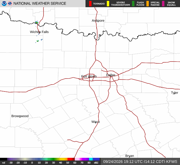
National Weather Service radar for North Texas (KFWS)

*As of Aug 12, 5 PM local time.*

Current Conditions and Immediate Outlook

Dangerous heat is currently gripping Howe, Texas, with the air temperature at 100F. Due to the humidity, the heat index makes it feel like 106F. The sky remains clear, and winds are blowing from the south at 15 mph, with gusts reaching up to 18 mph. The relative humidity is at 35%, with a dew point of 68F.

Looking at the rest of today, conditions will remain sunny with a high near 100F. The National Weather Service indicates heat index values could climb as high as 107 during the day. Winds will continue from the south around 15 mph, with gusts potentially reaching 25 mph.

As evening approaches, the sky will stay clear. Temperatures will drop to a low near 79F, though they may rise slightly to around 81F overnight. The heat index is expected to remain high, with values as high as 108.

Winds will persist from the south at around 15 mph, with gusts up to 25 mph.

Tomorrow's Forecast and Safety Guidance

Tomorrow will also be sunny with a high near 100F. The chance of precipitation is minimal at 1%. Heat index values are forecast to reach as high as 105.
Winds will shift to the south-southwest, blowing between 15 to 20 mph, with gusts as high as 25 mph. Following tomorrow, the sky will clear again for the night, with a low around 78F. Temperatures may rise to around 80F overnight.

The heat index could be as high as 103, with south winds of 15 to 20 mph and gusts up to 30 mph.

There are no active National Weather Service or NOAA weather alerts in effect for this area. However, the extreme heat requires caution. Residents should stay hydrated and limit midday exertion to avoid heat-related illnesses. Check on elderly neighbors and ensure pets have access to cool, shaded areas. With high heat indices persisting into the night, keeping living spaces cool is essential for safety.

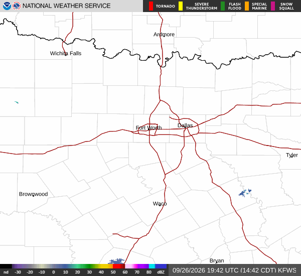
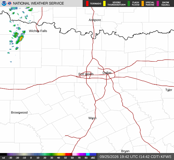
National Weather Service radar for North Texas (KFWS)

Sources

https://radar.weather.gov

https://api.weather.gov

https://open-meteo.com

Share

Bree Tanaka

Bree Tanaka covers weather, the outdoors, and seasonal life in and around Howe.

Related Stories

More in Sport