Back to Weather

5-day forecast / Howe, TX

FridaySunny100° / 78°
SaturdaySunny99° / 79°
SundaySunny100° / 78° 1%
MondaySunny101° / 78° 2%
TuesdaySunny101° / 79°

Heat Advisory in Effect for Howe as Temperatures Climb to 101F - Aug 13, 11 AM

Howe's hometown forecast, updated every four hours — straight from the National Weather Service.

A Heat Advisory is active for Howe, TX, with current feels-like temperatures at 94F. Highs near 101F expected today and tomorrow with continued heat indices.

Bree Tanaka

August 13, 20262 min read

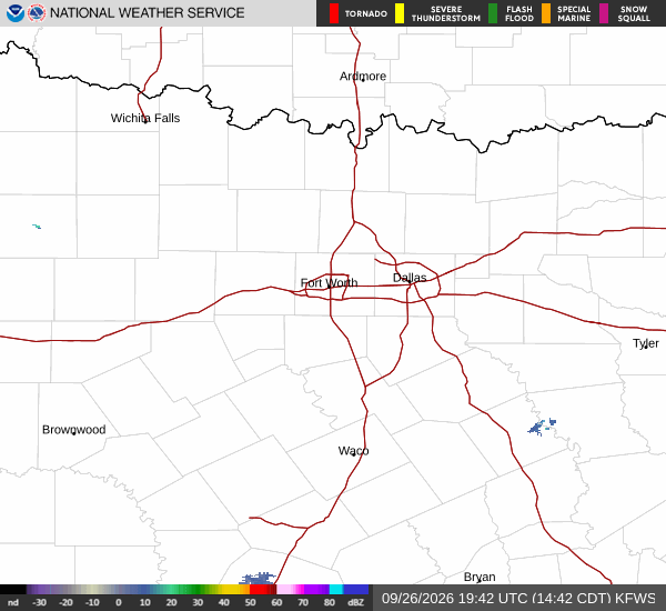
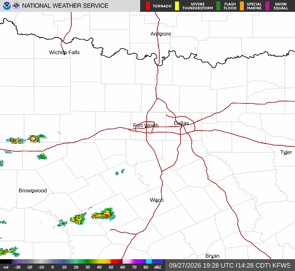
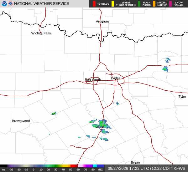
National Weather Service radar for North Texas (KFWS)

*As of Aug 13, 11 AM local time.*

Current Conditions and Alert Status

A Heat Advisory is currently in effect for Howe, Texas, signaling moderate severity and expected urgency. Residents are advised to take precautions as the region experiences significant heat. As of this Thursday morning, the air temperature stands at 91F, with a feels-like temperature of 94F.

The relative humidity is at 44%, and the dew point is recorded at 66F. Winds are blowing from the south southwest at 18 mph, with gusts reaching up to 22 mph. The sky remains clear, offering no relief from the sun.

The National Weather Service has issued this advisory to highlight the potential for dangerous heat levels. While the official alert details specific times, the immediate concern is the elevated heat index values that will persist through the day. It is crucial to stay aware of these conditions as they develop.

Forecast for Today and Tomorrow

Today, the sky will remain sunny with a high near 101F. The heat index is expected to reach as high as 104. Winds will continue from the south southwest around 15 mph, with gusts as high as 25 mph. There is a 0% chance of precipitation.

Tonight, conditions will clear out, with a low around 77F. Temperatures may rise slightly to around 79F overnight. The heat index will remain high, reaching up to 103. South winds will persist around 15 mph, with gusts up to 25 mph.

Tomorrow, the sun will return with a high near 99F. The heat index is forecast to be as high as 102. South winds will continue around 15 mph, with gusts as high as 25 mph.
There is also a 0% chance of precipitation for the day. Tomorrow night will be clear with a low around 78F and heat index values up to 101. South winds will range from 15 to 20 mph.

Safety Reminders

Given the active Heat Advisory and high heat index values, it is important to prioritize safety. Stay hydrated by drinking plenty of water throughout the day. Limit outdoor exertion, especially during the hottest parts of the day.

Check on neighbors and vulnerable individuals who may be at greater risk from the heat. Wear lightweight, light-colored clothing and use sunscreen if you must be outside. Keep living spaces cool and seek air-conditioned environments when possible.

National Weather Service radar for North Texas (KFWS)

Sources

https://radar.weather.gov

https://api.weather.gov

https://open-meteo.com

Share

Bree Tanaka

Bree Tanaka covers weather, the outdoors, and seasonal life in and around Howe.

Related Stories

More in Sport