Back to Weather

5-day forecast / Howe, TX

SundaySunny105° / 81° 1%
MondayMostly Sunny105° / 81° 3%
TuesdaySlight Chance Showers And Thunderstorms then Sunny104° / 80° 13%
WednesdaySlight Chance Showers And Thunderstorms100° / 77° 17%
ThursdaySunny99° / 76° 12%

Extreme Heat Warning in Effect for Howe as Temperatures Soar - Aug 23, 2 PM

Howe's hometown forecast, updated every four hours — straight from the National Weather Service.

An Extreme Heat Warning is active for Howe, TX, with dangerous heat index values reaching 105 degrees. Residents are urged to take precautions against the severe heat.

Bree Tanaka

August 23, 20262 min read

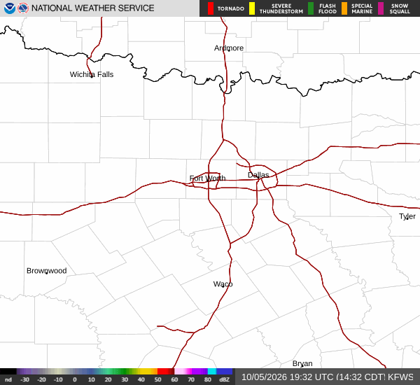
National Weather Service radar for North Texas (KFWS)

*As of Aug 23, 2 PM local time.*

Dangerous Heat Conditions Underway

An Extreme Heat Warning is currently in effect for Howe, Texas, signaling severe and potentially dangerous heat conditions. The National Weather Service has issued this alert due to air temperatures reaching 102 degrees Fahrenheit, with heat index values climbing as high as 105 degrees. This significant disparity between the actual air temperature and the perceived heat makes outdoor activity hazardous without proper precautions.

Current conditions show clear skies with a relative humidity of 28% and a dew point of 63 degrees. Winds are light, blowing from the south southwest at around 5 miles per hour, with gusts reaching up to 13 miles per hour.

The combination of high temperatures and low humidity creates an environment where heat can accumulate rapidly, posing serious health risks to those exposed for extended periods.

Forecast Outlook

Today remains mostly sunny with a high near 103 degrees. Heat index values are expected to reach 104 during the day. As evening approaches, skies will clear up, leading to a low around 81 degrees overnight.

Temperatures may rise slightly to around 83 degrees in the late night hours. The heat index will remain elevated, hitting 105 degrees, with south winds increasing to 5 to 10 miles per hour.

Tomorrow continues the hot trend under mostly sunny skies. The high is forecast to reach near 105 degrees, though temperatures may dip slightly to around 103 degrees in the afternoon. Heat index values will stay high at 103 degrees.
Winds will shift to the southwest and strengthen to 10 to 15 miles per hour. Overnight tomorrow night, there is a slight chance of showers and thunderstorms after 1am, but skies will generally remain clear with a low around 81 degrees.

Safety Reminders

Given the severity of the current heat warning, it is critical to stay hydrated and limit midday exertion. Seek air-conditioned environments whenever possible and check on neighbors or elderly relatives who may be vulnerable to heat-related illnesses. Avoid direct sun exposure during peak hours and wear lightweight, light-colored clothing if you must be outdoors.

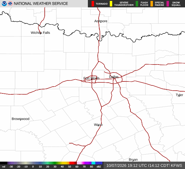
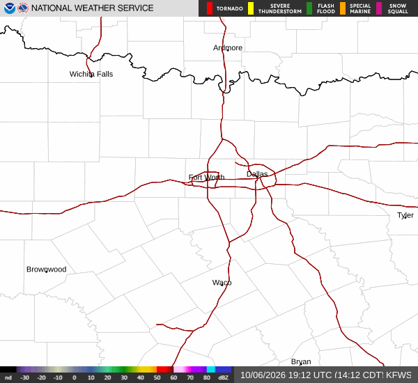
National Weather Service radar for North Texas (KFWS)

Sources

https://radar.weather.gov

https://api.weather.gov

https://open-meteo.com

Share

Bree Tanaka

Bree Tanaka covers weather, the outdoors, and seasonal life in and around Howe.

Related Stories

More in Sport

Sport

Polvara Late Strike Lifts CITY SC Past Dynamo

Dante Polvara’s 85th-minute goal secured a 2-1 victory for St. Louis CITY SC at Energizer Park. The win improves their record to 9-6-6, while Houston drops to 12-2-7.

Emmett HollisAugust 23, 20262 min read