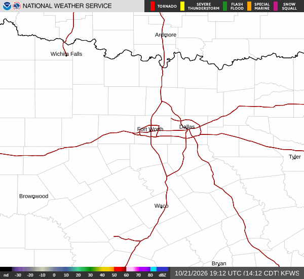
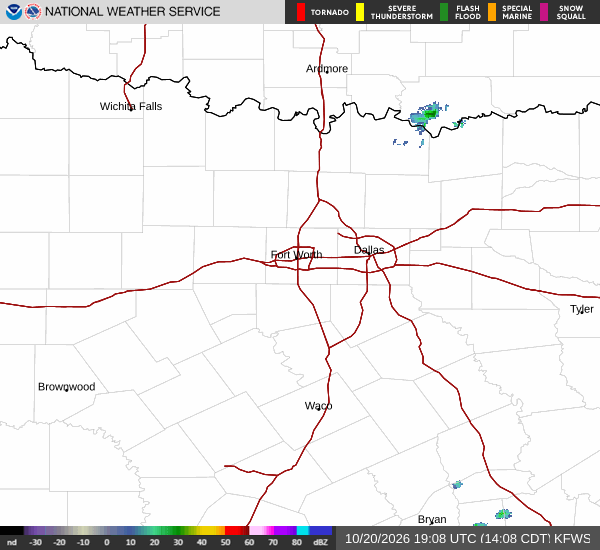
*As of Sep 6, 2 PM local time.*
Dangerous Heat Conditions
A Heat Advisory is currently in effect for Howe, Texas, signaling dangerous levels of heat that can lead to heat-related illnesses. The National Weather Service has issued this moderate-severity alert due to the combination of high air temperatures and humidity. As of this Sunday afternoon, the air temperature stands at 97F, but the heat index makes it feel like 102F.
The relative humidity is at 39%, with a dew point of 68F. Winds are blowing from the southeast at 11 mph, with gusts reaching up to 17 mph. The sky remains mostly cloudy as the day progresses.
Forecast for Today and Tomorrow
Today, residents can expect a high near 99F. While there is a slight chance of showers and thunderstorms after 4pm, the overall chance of precipitation is only 12%. Temperatures will fall to around 97F in the afternoon before dropping overnight.
The low tonight will be near 77F. There is also a slight chance of showers and thunderstorms before 7pm tonight, followed by mostly clear skies. Overnight, temperatures may rise slightly to around 79F, with heat index values potentially reaching 103F.
Tomorrow looks to be even hotter. The forecast calls for sunny skies with a high near 99F. The heat index is expected to climb as high as 104F, making it feel significantly warmer than the actual air temperature.
Winds will be light, ranging from south at 0 to 10 mph. Tomorrow night will bring mostly clear skies with a low around 78F. Temperatures may rise to around 80F overnight, with heat index values up to 101F.