Back to Weather

5-day forecast / Howe, TX

SaturdaySlight Chance Showers And Thunderstorms101° / 77° 10%
SundaySunny100° / 77° 5%
MondaySunny99° / 77° 1%
TuesdaySunny98° / 77°
WednesdaySunny97° / 76° 1%

Heat Advisory in Effect for Howe as Temperatures Soar to 101F - Sep 12, 2 PM

Howe's hometown forecast, updated every four hours — straight from the National Weather Service.

A Heat Advisory is active for Howe, TX, with dangerous heat index values reaching 110. Current conditions show a feels-like temperature of 108F under clear skies.

Bree Tanaka

September 12, 20262 min read

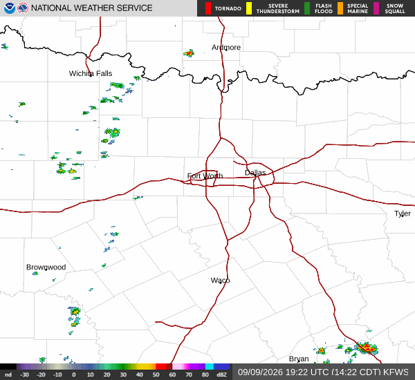
National Weather Service radar for North Texas (KFWS)

*As of Sep 12, 2 PM local time.*

Dangerous Heat Conditions

A Heat Advisory is currently in effect for Howe, Texas, signaling moderate severity and expected urgency from the National Weather Service. The danger is immediate, with current air temperatures at 100F and a feels-like temperature of 108F. Humidity levels are notable, with a dew point of 70F and relative humidity at 37%.

Winds are blowing from the south at 8 mph, with gusts reaching up to 10 mph, while the sky remains clear.

Today and Tonight Forecast

Today will see high temperatures near 101F. While the sun is out, there is a slight chance of showers and thunderstorms after 4pm. During the afternoon, temperatures may fall slightly to around 98F, but heat index values could climb as high as 110. South winds will persist around 10 mph.

Tonight, conditions will transition to mostly clear skies with a low near 77F. There remains a slight chance of showers and thunderstorms before 7pm. Overnight, temperatures may rise slightly to around 79F. Heat index values are expected to stay high at around 103. Winds will shift to south southeast at 5 to 10 mph.

Tomorrow Outlook

Tomorrow brings sunny skies with a high near 100F. Similar to today, temperatures may drop to around 98F in the afternoon. The heat index is forecasted to reach up to 103.

South winds will continue at 5 to 10 mph. The chance of precipitation drops to just 5%. Tomorrow night will be clear with a low around 77F, and temperatures rising to around 79F overnight.

Heat index values will remain elevated at around 100, with south southeast winds near 10 mph.

Safety Reminder

Given the active advisory and dangerous heat index values, it is critical to stay hydrated and limit midday exertion. Check on neighbors and vulnerable individuals who may be affected by the extreme heat. Avoid prolonged exposure to the sun during peak hours.

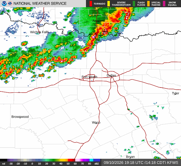
National Weather Service radar for North Texas (KFWS)

Sources

https://radar.weather.gov

https://api.weather.gov

https://open-meteo.com

Share

Bree Tanaka

Bree Tanaka covers weather, the outdoors, and seasonal life in and around Howe.

Related Stories

More in Sport