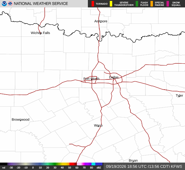
*As of Sep 20, 2 PM local time.*
Dangerous Heat Conditions
The sun is beating down on Howe, Texas, creating hazardous conditions for anyone outside. Current air temperatures have reached 95F, but the heat index makes it feel like a dangerous 100F. Relative humidity sits at 42%, with a dew point of 68F contributing to the muggy atmosphere.
Winds are blowing from the south southwest at 10 mph, with gusts matching that speed. The sky remains mostly clear as of this afternoon.
Temperatures will struggle to drop significantly today. The high is expected to reach near 94F, though heat index values may climb as high as 97 during the peak hours. As the afternoon progresses, temperatures will fall slightly to around 91F. Tonight, skies will turn mostly cloudy with a low near 72F. Winds will shift to the east southeast at around 5 mph.
Storms Expected Tonight and Tomorrow
The heat will break tonight as moisture moves in. There is a chance of showers and thunderstorms between 7pm and 10pm. Conditions will then become likely for storms between 10pm and 4am, followed by another chance of precipitation later in the night.
The overall chance of precipitation for tonight is 60%. Residents should be aware that new rainfall amounts between a quarter and half of an inch are possible.
Tomorrow brings partly sunny skies with a high near 91F. Temperatures will dip to around 89F in the afternoon. There is a 43% chance of showers and thunderstorms, primarily before 4pm. Winds will be light, ranging from northeast at 0 to 5 mph. Another quarter to half an inch of rain is possible tomorrow as well.