Back to Weather

5-day forecast / Howe, TX

TuesdayMostly Sunny91° / 74°
WednesdayMostly Cloudy then Chance Showers And Thunderstorms91° / 72° 30%
ThursdayShowers And Thunderstorms80° / 68° 93%
FridayShowers And Thunderstorms77° / 65° 81%
SaturdayShowers And Thunderstorms Likely75° / 64° 64%

Flood Watch in Effect for Howe as Heat Persists - Sep 29, 2 PM

Howe's hometown forecast, updated every four hours — straight from the National Weather Service.

A severe Flood Watch is active for Howe, TX, through October 1. Temperatures remain near 91F today with clear skies, while rain chances rise tomorrow.

Bree Tanaka

September 29, 20262 min read

Local sports

*As of Sep 29, 2 PM local time.*

Active Alerts and Current Conditions

A severe Flood Watch is currently in effect for Howe, Texas, issued by the National Weather Service in Fort Worth. This alert remains active until October 1 at 1:00 PM CDT. Residents should monitor conditions closely as the watch period extends through the upcoming days.

As of this afternoon, the air temperature stands at 90F with a feels-like value of 91F. Relative humidity is at 43%, and the dew point is recorded at 64F. Winds are blowing from the south-southeast at 14 mph, with gusts reaching up to 19 mph. The sky remains clear overhead.

Forecast for Today and Tonight

Today will be partly sunny with a high near 91F. The National Weather Service indicates south-southeast winds around 15 mph, with gusts as high as 25 mph. There is a 0% chance of precipitation today. Temperatures are expected to drop to a low near 74F tonight under partly cloudy skies. Winds will continue from the south-southeast at 10 to 15 mph.

Tomorrow and Safety Reminders

Tomorrow brings a shift in conditions with mostly cloudy skies. A high near 91F is expected, accompanied by heat index values as high as 97. The chance of precipitation rises to 30%.
According to the forecast, there is a slight chance of rain showers between 1 pm and 4 pm, followed by a chance of showers and thunderstorms later in the day. South winds will increase to 15 to 20 mph, with gusts as high as 30 mph.

Tonight into tomorrow night, conditions will remain mostly cloudy. A low around 72F is expected, with temperatures rising to around 74F overnight. The chance of precipitation increases to 70%, with showers and thunderstorms likely after 1 am. New rainfall amounts between a half and three quarters of an inch are possible.

Given the active Flood Watch and potential for significant rainfall tomorrow night, residents are advised to stay informed about local updates. In the current heat, it is important to hydrate frequently and limit midday exertion. As conditions shift toward rain and wind, ensure outdoor items are secured and check on neighbors who may need assistance during the alert period.

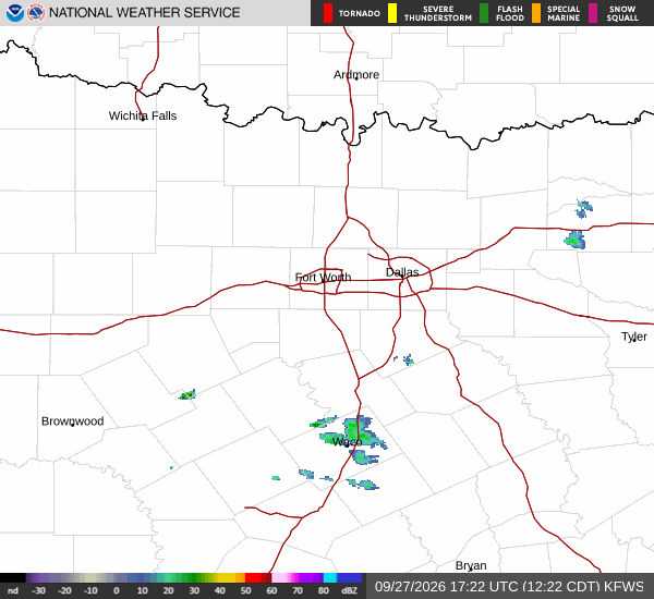
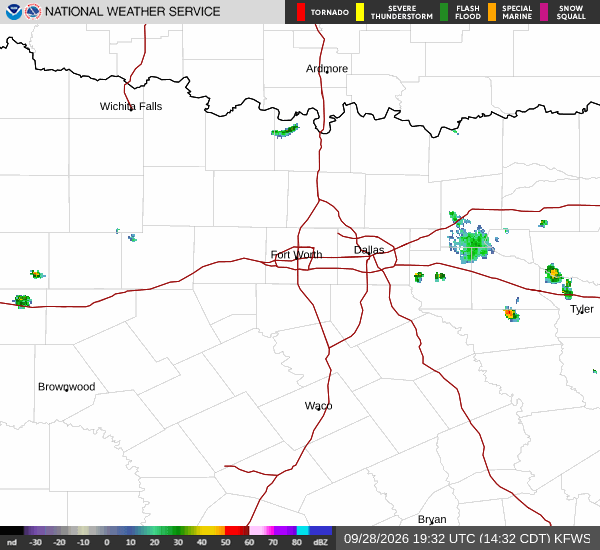
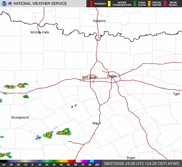
Latest National Weather Service radar for North Texas (KFWS radar). Source: radar.weather.gov.

Sources

National Weather Service radar

National Weather Service forecast data

Open-Meteo weather data

Share

Bree Tanaka

Bree Tanaka covers weather, the outdoors, and seasonal life in and around Howe.

Related Stories

More in Sport