Back to Weather

5-day forecast / Howe, TX

WednesdayChance Showers And Thunderstorms90° / 70° 32%
ThursdaySunny85° / 57° 13%
FridayChance Rain Showers then Partly Sunny63° / 46° 25%
SaturdaySunny64° / 45°
SundaySunny69° / 49°

Humid Heat Hits Howe, TX With Chance of Storms - Oct 14, 2 PM

Howe's hometown forecast, updated every four hours — straight from the National Weather Service.

Howe residents face a muggy Wednesday afternoon with temperatures near 91F and high humidity. Showers and thunderstorms are possible today before clearing for tomorrow.

Bree Tanaka

October 14, 20262 min read

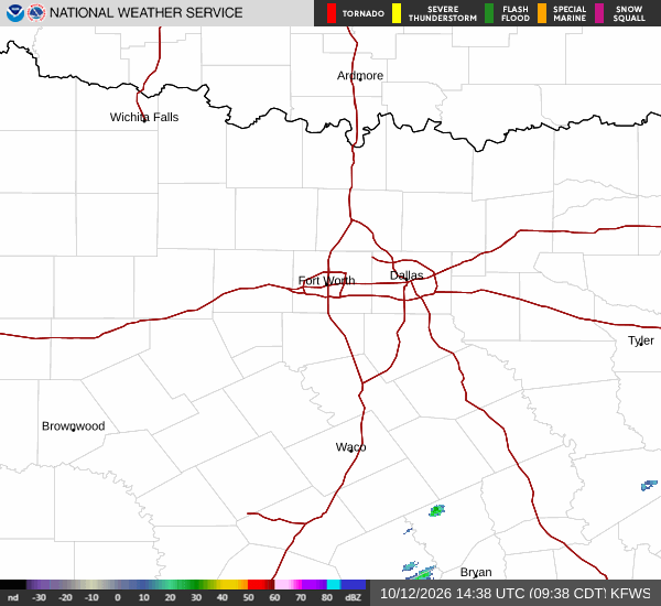
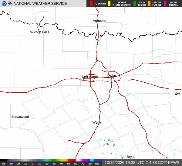
National Weather Service radar for North Texas (KFWS)

*As of Oct 14, 2 PM local time.*

Current Conditions

It is currently Wednesday this afternoon in Howe, Texas, where the air feels quite heavy with moisture. The current air temperature stands at 89F, but the heat index makes it feel like 93F. Relative humidity is sitting at 55%, supported by a dew point of 70F, which contributes to the sticky atmosphere.

Winds are blowing from the south at 11 mph with gusts reaching 13 mph, while the sky remains cloudy.

Forecast Overview

Today brings a high near 91F, though temperatures may dip slightly to around 87F in the afternoon. The National Weather Service indicates a slight chance of rain showers before 4pm, followed by a chance of showers and thunderstorms later in the day. Heat index values could climb as high as 97F during peak hours.

There is a 30% chance of precipitation, with new rainfall amounts less than a tenth of an inch possible. South winds will persist at 10 to 15 mph.

Tonight, conditions will shift toward mostly clear skies. A chance of showers and thunderstorms lingers before 1am. The low will settle near 70F, with temperatures rising slightly to around 72F overnight.

Winds will continue from the south-southeast at around 10 mph, with gusts as high as 20 mph. The chance of precipitation remains at 30%, with less than a tenth of an inch of rain expected.
Tomorrow looks significantly different. Expect sunny skies and a high near 85F, cooling to around 83F in the afternoon. South winds will ease to 5 to 10 mph. The chance of precipitation drops to 13%. While there are no active National Weather Service or NOAA weather alerts in effect, the transition from humid storms to clear skies is notable.

Safety Reminder

Given the high heat index values today, it is important to stay hydrated and limit midday exertion if possible. As winds pick up tonight with potential gusts, ensure outdoor items are secured.

National Weather Service radar for North Texas (KFWS)

Sources

National Weather Service radar

National Weather Service forecast data

Open-Meteo weather data

Share

Bree Tanaka

Bree Tanaka covers weather, the outdoors, and seasonal life in and around Howe.

Related Stories

More in Sport