Sticky Air Dominates Wednesday Evening
Readers in Howe are experiencing quite humid conditions this Wednesday evening. The air temperature currently sits at 83F, but the moisture in the atmosphere pushes the feels-like temperature to 87F. Relative humidity is holding at 68%, driven by a dew point of 71F. Winds are blowing from the east at 12 mph, with gusts reaching up to 18 mph, while the sky remains clear overhead.
Forecast for Today and Tomorrow
Looking ahead, today will see a high near 88F and a low near 70F. Despite the clear skies now, the official outlook indicates overcast conditions with only an 11% chance of precipitation. Tomorrow brings a slight shift, with a high near 84F and a low near 70F. The sky will be overcast, and the chance of precipitation rises to 15%.
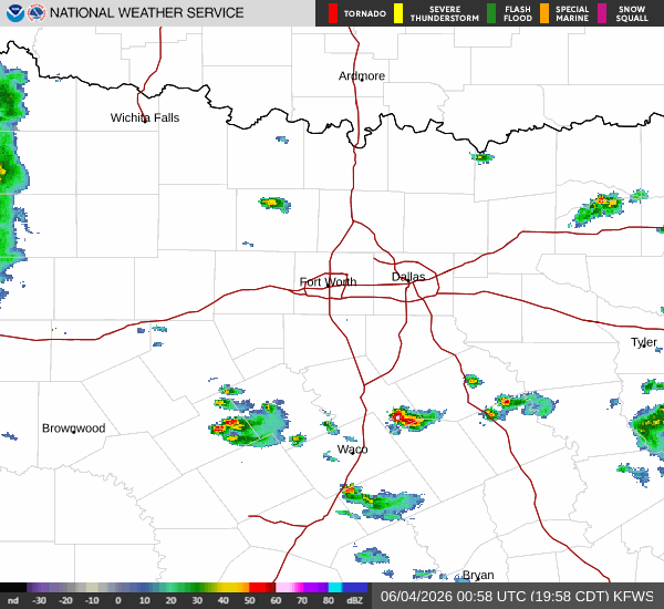
Rain Chances Increase Thursday
According to the National Weather Service, the pattern changes as we move into Thursday. There is a chance of showers and thunderstorms expected after 7am. Conditions will be partly sunny with a high near 83F, and winds will shift to the south southeast at 5 to 10 mph. The chance of precipitation for the day is 30%, with new rainfall amounts possible of less than a tenth of an inch. Thursday night also carries a 30% chance of showers and thunderstorms before 7pm, followed by partly cloudy skies and a low around 70F. By Friday, another chance of showers and thunderstorms is possible after 1pm, with mostly cloudy skies and a high near 84F.


