Active Alerts and Current Conditions
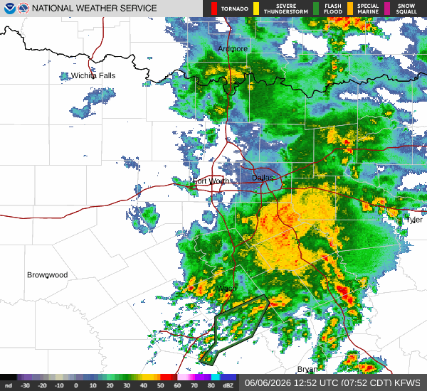
A Flood Watch with severe severity and future urgency is currently in effect for Howe, Texas. This alert was issued by the National Weather Service in Fort Worth and remains active until June 7 at 4:00 PM CDT. Residents should remain vigilant as conditions are favorable for flooding.
Right now, the air is thick with moisture. The current air temperature sits at 74F, but the heat index makes it feel like 77F. Relative humidity is at 90%, with a dew point of 70F, creating a muggy atmosphere. Light rain is falling from the sky, accompanied by winds of 11 mph with gusts reaching 17 mph.
Forecast for Today and Tonight
Today, expect a mix of rain showers and thunderstorms. The chance of precipitation is 68%. According to the National Weather Service, showers and thunderstorms are likely before 1pm, followed by a chance of them later in the day. The sky will remain mostly cloudy. The high will be near 85F, while the low tonight will drop to near 73F. South southeast winds will blow between 5 to 10 mph. New rainfall amounts between a quarter and half of an inch are possible today.
Tonight, the likelihood of rain increases. There is a chance of showers and thunderstorms before 1am, after which showers and thunderstorms become likely. The low will be around 71F. South winds will hover around 10 mph. Residents can expect new rainfall amounts between three quarters and one inch during this period.
Outlook for Tomorrow
Tomorrow, the chance of precipitation drops slightly to 48%, but thunderstorms are still in the forecast. The high will reach near 86F, with temperatures falling to around 84F in the afternoon. The low will be near 69F. Showers and thunderstorms are expected before 4pm, followed by a chance of them later. South winds will increase to 10 to 15 mph, with gusts as high as 25 mph at night. New rainfall amounts between a quarter and half of an inch are possible.


