Weekend Rain and Flood Risk
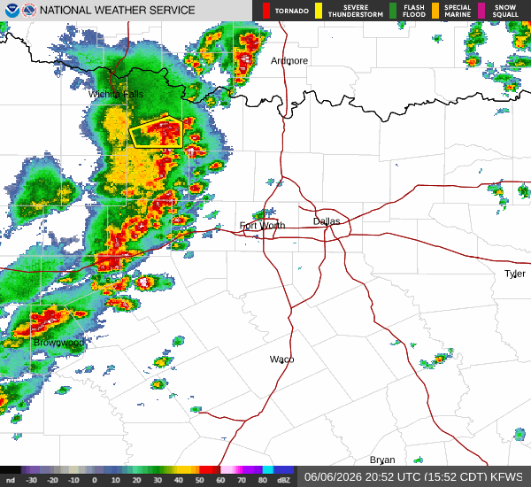
A Flood Watch with severe severity is currently in effect for Howe, Texas, extending until Sunday afternoon. Residents should remain vigilant as atmospheric conditions support the development of heavy rainfall. The air is already quite humid, with the current dew point sitting at 71F and relative humidity at 64%. The current air temperature is 84F, but the heat index makes it feel like 90F. Winds are blowing from the south southeast at 10 mph, with gusts reaching 11 mph, under a clear sky.
Forecast Details
Today, the high will reach near 86F, dropping to a low near 72F tonight. There is a 68% chance of precipitation, primarily in the form of rain showers. The National Weather Service indicates a slight chance of showers and thunderstorms this afternoon, with mostly sunny skies initially. Temperatures may fall to around 81F later in the day. Tonight, the chance of precipitation rises to 80%, with showers and thunderstorms likely before 4am. Rainfall amounts between a half and three quarters of an inch are possible.
Tomorrow, the high will climb to near 88F, with a low near 71F. The chance of precipitation is 45%, with thunderstorms expected. Sunday brings an 80% chance of precipitation, with showers and thunderstorms possible before 7am and between 7am and 4pm. Rainfall totals could reach between three quarters and one inch. Sunday night will be mostly cloudy with a low around 74F.


