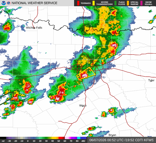
Active Alerts and Current Conditions
A severe Flood Watch is currently in effect for Howe, Texas, urging residents to remain vigilant as heavy rain continues to fall. The National Weather Service has issued this alert due to the potential for significant water accumulation and rapid rises in local waterways. As of this evening, conditions are exceptionally saturated. The air temperature stands at 73F, but the heat index makes it feel like 76F. Humidity is at a stifling 98%, with a dew point of 72F, indicating that the air is holding as much moisture as possible. Winds are blowing at 12 mph with gusts reaching 14 mph, while the sky remains obscured by heavy rain.
Forecast for Tonight and Tomorrow
Rain and thunderstorms are expected to continue through the night. Showers and thunderstorms are likely before 10pm, followed by a chance of these conditions between 10pm and 1am, and then likely again afterward. The sky will remain mostly cloudy with a low near 73F. South southeast winds will hover around 10 mph. There is a 70% chance of precipitation, with new rainfall amounts between a half and three quarters of an inch possible.
Tomorrow brings continued instability with a high near 88F and a low near 71F. The chance of precipitation is 50%, with thunderstorms expected. Showers and thunderstorms are likely before 10am, followed by a chance of these conditions between 10am and 1pm. Partly sunny skies will follow, but heat index values could reach as high as 97. South winds will increase to 10 to 15 mph, with gusts as high as 25 mph. New rainfall amounts between three quarters and one inch are possible.


