Active Weather Alert
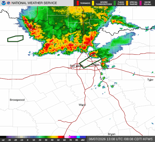
A Flood Watch with severe severity and future urgency is currently in effect for Howe, Texas. This alert was issued by the National Weather Service in Fort Worth and remains active until the afternoon. Residents should monitor conditions closely as the potential for flooding exists during this period. The watch indicates that heavy rainfall could lead to rising water levels, requiring caution for those in low-lying areas.
Current Conditions and Today's Forecast
It is currently Sunday morning in Howe. The air temperature stands at 72F, with a feels-like temperature of 73F. Relative humidity is high at 93%, and the dew point is 69F. Winds are blowing at 14 mph with gusts reaching 28 mph, while the sky remains clear.
Today, the high will reach near 85F, dropping to a low near 68F. There is a 72% chance of precipitation, with thunderstorms expected. According to the National Weather Service, showers and thunderstorms are likely before 1pm, followed by a chance of showers and thunderstorms between 1pm and 4pm. The sky will be mostly cloudy, with a high near 87F. Heat index values may climb as high as 99. South southwest winds will range from 10 to 15 mph, with gusts up to 25 mph. New rainfall amounts between a tenth and quarter of an inch are possible.
Tonight, the sky will become partly cloudy with a low around 75F. South winds will persist around 15 mph, with gusts as high as 25 mph.
Tomorrow's Outlook
Tomorrow, the high will be near 89F, with a low near 75F. The chance of precipitation drops significantly to 2%, though thunderstorms are still listed in the forecast. The sky will be mostly sunny, with a high near 91F. Heat index values could reach as high as 105. South winds will continue around 15 mph, with gusts up to 25 mph. Monday night will be mostly clear with a low around 75F and heat index values up to 102. South winds will be 10 to 15 mph.


