Back to Weather

5-day forecast / Howe, TX

SaturdaySunny then Slight Chance Showers And Thunderstorms96° / 77° 14%
SundayMostly Sunny then Slight Chance Showers And Thunderstorms95° / 74° 23%
MondayMostly Sunny95° / 75° 12%
TuesdayMostly Sunny95° / 76° 12%
WednesdaySunny96° / 78° 4%

Flood Watch in Effect for Howe as Humidity Peaks and Storms Loom

Howe's hometown forecast, updated every four hours — straight from the National Weather Service.

A severe Flood Watch is active for Howe, TX, alongside 100% humidity and rain. Showers and thunderstorms are likely today with highs near 87F, while tomorrow brings mostly sunny skies and heat index values up to 105.

Bree Tanaka

June 7, 20262 min read

National Weather Service radar for North Texas (KFWS)

Active Alerts and Current Conditions

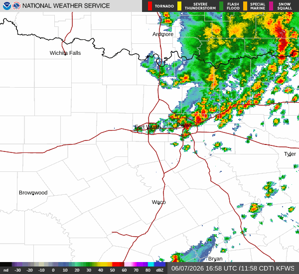
A severe Flood Watch is currently in effect for Howe, Texas. This alert was issued by the National Weather Service in Fort Worth and remains in place until 4:00 PM CDT on June 7. Residents should remain vigilant as conditions are favorable for flooding.

Right now, the atmosphere is saturated. The air temperature sits at 70F, matching the feels-like temperature of 70F. Relative humidity is at 100%, with a dew point of 70F. Winds are blowing from the south at 14 mph, with gusts reaching 23 mph. The sky is currently obscured by rain and fog or mist.

Today and Tonight Forecast

Showers and thunderstorms are likely today before 4:00 PM, followed by a slight chance of showers and thunderstorms later. The sky will be partly sunny. Temperatures will climb to a high near 87F, with heat index values reaching as high as 99. South winds will average around 15 mph, with gusts as high as 25 mph. There is a 70% chance of precipitation, with new rainfall amounts between a tenth and quarter of an inch possible.

Tonight, there is a slight chance of showers and thunderstorms before 7:00 PM. Conditions will be partly cloudy with a low around 75F. South winds will remain around 15 mph, with gusts up to 25 mph. The chance of precipitation drops to 20%.

Tomorrow Outlook

Tomorrow, the weather will clear up significantly. Skies will be mostly sunny with a high near 91F. Heat index values are expected to reach as high as 105. South winds will continue around 15 mph, with gusts as high as 25 mph. The chance of precipitation is only 1%.

Tomorrow night, skies will become mostly clear with a low around 75F. Heat index values will remain elevated at up to 102. South winds will be 10 to 15 mph.

Safety Reminders

Given the active Flood Watch, please monitor local news for updates and avoid low-lying areas prone to water accumulation. With heat index values approaching 105 tomorrow, stay hydrated and limit prolonged outdoor exertion during the hottest parts of the day. Check on neighbors who may be vulnerable to extreme heat or weather events.

National Weather Service radar for North Texas (KFWS)

Sources

https://radar.weather.gov

https://api.weather.gov

https://open-meteo.com

Share

Bree Tanaka

Bree Tanaka covers weather, the outdoors, and seasonal life in and around Howe.

Related Stories

More in Sport