Back to Weather

5-day forecast / Howe, TX

MondaySunny then Slight Chance Showers And Thunderstorms94° / 73° 16%
TuesdaySunny then Slight Chance Showers And Thunderstorms92° / 74° 21%
WednesdaySunny95° / 78° 2%
ThursdaySunny97° / 79° 2%
FridaySunny97° / 79° 2%

Humid Heat Returns to Howe as Temperatures Climb Near 94 - Jul 6, 12 PM

Howe's hometown forecast, updated every four hours — straight from the National Weather Service.

Howe, TX faces high humidity with a dew point of 73F today. Temperatures will reach near 94F with a heat index up to 100. No weather alerts are active.

Bree Tanaka

July 6, 20262 min read

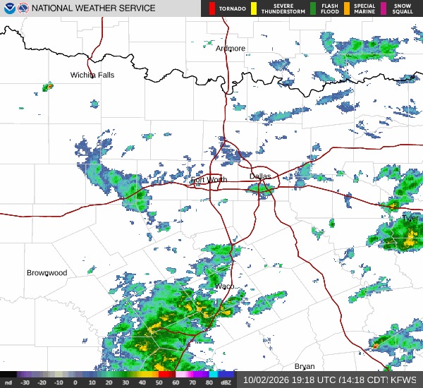
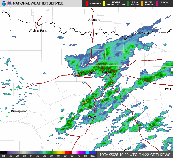
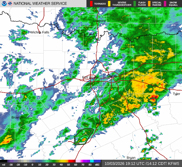
National Weather Service radar for North Texas (KFWS)

*As of Jul 6, 12 PM local time.*

Current Conditions and Humidity

The air in Howe, Texas, is currently quite heavy with moisture. The relative humidity stands at 70%, supported by a dew point of 73F. This level of humidity contributes to a significant difference between the actual air temperature and how it feels. The current air temperature is 84F, but the heat index makes it feel like 91F. Winds are light, blowing from the east southeast at 5 mph with gusts reaching 6 mph. The sky remains clear overhead.

Today and Tonight Forecast

Temperatures will rise significantly throughout the afternoon, with a high near 94F expected. The heat index will climb to values as high as 100F, making the conditions feel quite oppressive. While the day starts sunny, there is a slight chance of showers and thunderstorms developing after 4pm. The chance of precipitation is listed at 16% for the day overall.

As evening approaches, the risk for storms continues slightly before 7pm. Skies will become mostly clear overnight. Temperatures will drop to a low near 73F, though they may rise slightly to around 75F later in the night. The heat index will remain elevated at around 98F. Winds will remain light, between 0 and 5 mph. Any rainfall is expected to be minimal, with new amounts less than a tenth of an inch possible.
Tomorrow Outlook

Conditions will remain warm and humid into the next day. The high will be near 92F, with the heat index reaching up to 98F. The sky will be sunny, but there is a slight chance of showers and thunderstorms developing after 1pm. The chance of precipitation is 20%. Winds will shift to the southeast, staying between 0 and 5 mph.

There are no active National Weather Service or NOAA weather alerts for this area. Residents should stay hydrated and limit prolonged exertion during the hottest parts of the day. Checking on neighbors and ensuring pets have access to cool water is also advisable given the high heat index values.

National Weather Service radar for North Texas (KFWS)

Sources

https://radar.weather.gov

https://api.weather.gov

https://open-meteo.com

Share

Bree Tanaka

Bree Tanaka covers weather, the outdoors, and seasonal life in and around Howe.

Related Stories

More in Sport