Back to Weather

5-day forecast / Howe, TX

ThursdaySunny99° / 79° 1%
FridaySunny98° / 79°
SaturdaySunny97° / 76° 2%
SundayChance Showers And Thunderstorms92° / 73° 50%
MondayChance Showers And Thunderstorms90° / 73° 44%

Dangerous Heat Index Hits 106F in Howe as Temperatures Climb - Jul 8, 4 PM

Howe's hometown forecast, updated every four hours — straight from the National Weather Service.

Howe, TX residents face dangerous heat today with a heat index of 106F. Sunny skies and high humidity persist through tomorrow with no active weather alerts.

Bree Tanaka

July 8, 20262 min read

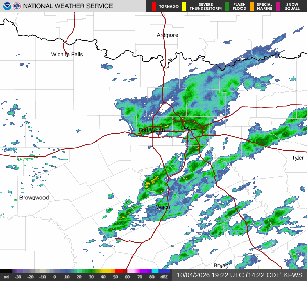
National Weather Service radar for North Texas (KFWS)

*As of Jul 8, 4 PM local time.*

Current Conditions and Heat Risk

The air in Howe, Texas, is currently stifling, with the heat index reaching a dangerous 106F. While the actual air temperature stands at 99F, the combination of heat and moisture makes it feel significantly hotter. Relative humidity is at 40%, with a dew point of 70F, creating a muggy atmosphere that intensifies the perceived heat. Winds are blowing from the south southwest at 8 mph, with gusts reaching up to 15 mph. The sky remains mostly clear, allowing intense solar radiation to drive these elevated temperatures.

Forecast for Today and Tomorrow

Today will remain sunny with a high near 98F. The National Weather Service indicates heat index values will climb as high as 103F during the day. Winds will shift slightly to the south southwest, ranging from 5 to 10 mph. The chance of precipitation is minimal at just 7%, meaning the heat will persist without relief from rain.

Tonight, skies will turn mostly clear, allowing temperatures to drop to a low near 79F. However, the heat will not fully dissipate, with temperatures rising to around 81F overnight. Heat index values will remain as high as 100F. Winds will pick up from the south, averaging around 10 mph with gusts as high as 20 mph.

Tomorrow, the pattern continues with sunny skies and a high near 99F. Heat index values are expected to reach 103F again. Winds will increase to the south southwest, blowing between 10 and 15 mph. The chance of precipitation drops to just 1%, ensuring another day of dry, intense heat.
Safety Reminders

With heat indices exceeding 100F, the risk of heat-related illness is significant. It is crucial to stay hydrated by drinking water frequently, even if you do not feel thirsty. Limit outdoor exertion, especially during the midday hours when the sun is strongest. If you must be outside, seek shade or air-conditioned spaces whenever possible. Check on elderly neighbors and those without reliable cooling to ensure their safety. There are no active National Weather Service alerts for this area, but the dangerous heat conditions themselves warrant caution and preparedness.

National Weather Service radar for North Texas (KFWS)

Sources

https://radar.weather.gov

https://api.weather.gov

https://open-meteo.com

Share

Bree Tanaka

Bree Tanaka covers weather, the outdoors, and seasonal life in and around Howe.

Related Stories

More in Sport