Back to Weather

5-day forecast / Howe, TX

TuesdaySlight Chance Rain Showers then Chance Showers And Thunderstorms88° / 70° 41%
WednesdayMostly Sunny then Slight Chance Showers And Thunderstorms86° / 72° 18%
ThursdayPartly Sunny then Slight Chance Showers And Thunderstorms89° / 73° 17%
FridayMostly Sunny90° / 75° 5%
SaturdaySunny93° / 75° 2%

Humidity Peaks in Howe as Storms Linger - Jul 13, 8 PM

Howe's hometown forecast, updated every four hours — straight from the National Weather Service.

Oppressive humidity grips Howe with a dew point of 76F. Conditions ease tonight with a slight chance of storms, while tomorrow brings a higher chance of rain and thunderstorms.

Bree Tanaka

July 14, 20262 min read

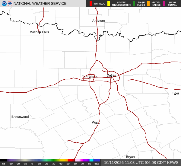
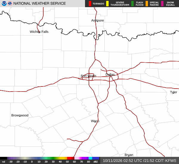
National Weather Service radar for North Texas (KFWS)

*As of Jul 13, 8 PM local time.*

Oppressive Humidity Grips Howe

Residents in Howe are currently navigating an atmosphere defined by its heavy moisture content. The air temperature stands at 80F, but the heat index makes it feel like 86F. This discrepancy is driven by a relative humidity of 87% and a dew point of 76F, creating an oppressively humid environment that feels thick and stagnant. The sky remains overcast, blocking direct sunlight but trapping heat near the ground. Winds are light, blowing from the east southeast at 7 mph with gusts reaching 13 mph, which is insufficient to break up the dense moisture layer.

Forecast: Storms and Sun

Looking ahead, the immediate forecast offers a slight reprieve from the current saturation. Today is expected to see a high near 85F and a low near 71F. There is a 17% chance of precipitation, with a slight possibility of showers and thunderstorms before conditions become mostly clear.

Tonight, the moisture will persist but with reduced intensity. A slight chance of showers and thunderstorms is possible before 10pm, followed by mostly clear skies. Temperatures will drop to a low around 71F. Winds will shift to east southeast, remaining light at 0 to 5 mph. Any rainfall tonight is expected to be minimal, with new amounts less than a tenth of an inch possible.

Tomorrow brings a shift in dynamics. The high will reach near 88F, though temperatures may fall to around 86F in the afternoon. The sky will be mostly sunny, but the chance of precipitation rises to 41%. A slight chance of rain showers is expected between 10am and 1pm, followed by a chance of showers and thunderstorms later in the day. Winds will come from the east at 0 to 10 mph. Rainfall totals could range between a tenth and a quarter of an inch.
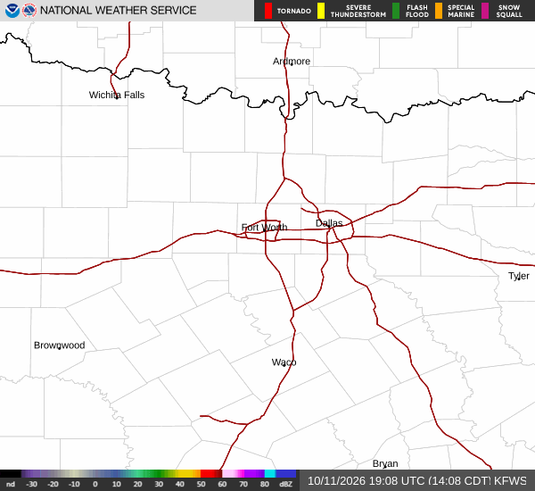
There are no active National Weather Service or NOAA weather alerts in effect for this area. While the humidity is intense, the lack of severe warnings allows for normal daily activities with caution. In such humid conditions, it is wise to stay hydrated and monitor how your body reacts to the heat index. Keep an eye on the sky as the day progresses, as the potential for scattered storms increases toward the afternoon.

National Weather Service radar for North Texas (KFWS)

Sources

https://radar.weather.gov

https://api.weather.gov

https://open-meteo.com

Share

Bree Tanaka

Bree Tanaka covers weather, the outdoors, and seasonal life in and around Howe.

Related Stories

More in Sport