Back to Weather

5-day forecast / Howe, TX

MondaySunny101° / 78° 2%
TuesdaySunny101° / 80° 1%
WednesdaySunny101° / 79° 1%
ThursdaySunny99° / 79°
FridaySunny98° / 80° 1%

Humidity and Heat Define Sunday in Howe, TX - Jul 19, 8 AM

Howe's hometown forecast, updated every four hours — straight from the National Weather Service.

Howe residents face a humid start with a dew point of 73F. Temperatures will climb to 96F today with a slight chance of storms, followed by even hotter conditions tomorrow.

Bree Tanaka

July 19, 20262 min read

Local sports
Local sports

*As of Jul 19, 8 AM local time.*

Current Conditions and Humidity

The morning in Howe, Texas, is defined by significant moisture in the air. Current readings show an air temperature of 81F, but the heat index makes it feel like 85F. Relative humidity sits at 79%, with a dew point of 73F, creating a muggy atmosphere.

Winds are light at 6 mph, though gusts have reached 20 mph. The sky remains clear overhead as the day begins.

Today and Tonight Forecast

Temperatures are expected to rise sharply today, reaching a high near 96F. The National Weather Service indicates heat index values could climb as high as 103F. While the day starts sunny, there is a slight chance of showers and thunderstorms developing after 4pm.

The chance of precipitation is listed at 20% for this period. Winds will shift to a south southwest direction at 5 to 10 mph.

As evening approaches, the risk of storms continues before 7pm. Conditions will become mostly clear for the night, with a low around 78F. The heat index will remain elevated, staying as high as 99F. Winds will ease to a south direction at 5 to 10 mph. The overall chance of precipitation remains at 20% for the overnight period.

Tomorrow Outlook

The heat will intensify further tomorrow. Highs are forecast to reach near 99F, with heat index values pushing up to 104F. The sky will be sunny throughout the day.
Winds will come from the southwest at 5 to 10 mph. The chance of precipitation drops significantly to just 2%. Temperatures will settle to a low near 79F overnight, with clear skies and a heat index as high as 102F.

Winds will be light from the south southwest around 5 mph.

Safety Reminder

With heat index values exceeding 100F, it is crucial to stay hydrated and limit prolonged outdoor exertion during the hottest parts of the day. Check on neighbors who may be vulnerable to extreme heat. Although there are no active weather alerts, be aware of the slight chance of storms later today and tonight.

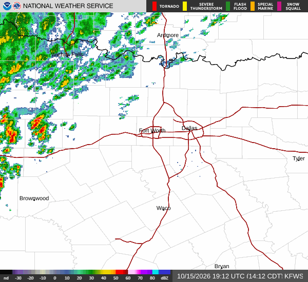
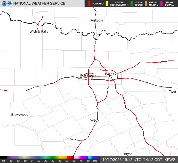
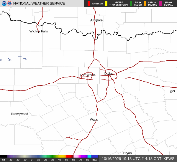
Latest National Weather Service radar for North Texas (KFWS radar). Source: radar.weather.gov.

Sources

https://radar.weather.gov

https://api.weather.gov

https://open-meteo.com

Share

Bree Tanaka

Bree Tanaka covers weather, the outdoors, and seasonal life in and around Howe.

Related Stories

More in Sport