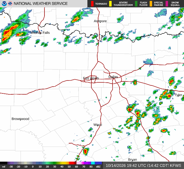
*As of Oct 15, 2 PM local time.*
Active Alerts and Current Conditions
A Wind Advisory is currently in effect for Howe, Texas, issued by the National Weather Service in Fort Worth. This moderate-severity alert remains active until October 16 at 7:00PM CDT. Residents should prepare for gusty conditions that may impact travel and outdoor activities.
Right now, the atmosphere feels quite heavy with moisture. The air temperature stands at 79F, but the heat index makes it feel like 82F. Relative humidity is sitting at 79%, with a dew point of 72F indicating significant stickiness in the air. Skies are currently cloudy, and winds are light at 5 mph with gusts reaching 8 mph.
Forecast for Today and Tonight
Today, there is a slight chance of rain showers before 4pm, followed by a chance of showers and thunderstorms later in the day. Highs will reach near 85F under mostly sunny skies. Winds will shift to the west southwest at 5 to 10 mph. The chance of precipitation is 40%, with new rainfall amounts less than a tenth of an inch possible.
Tonight, the risk of rain increases significantly. There is a chance of showers and thunderstorms before 7pm, followed by likely showers and thunderstorms afterward. Skies will be mostly cloudy with lows near 53F.
Temperatures may rise to around 58F overnight as north winds pick up to 10 to 25 mph. The chance of precipitation is 60%, with new rainfall amounts between a quarter and half of an inch possible.
Tomorrow’s Outlook
Tomorrow, conditions will turn cooler and much windier. A slight chance of rain showers exists before 7am, but skies will clear to mostly sunny by midday. Highs will drop to near 61F.