*As of Jul 22, 8 AM local time.*
Active Alert and Current Conditions
An Extreme Heat Warning is currently in effect for Howe, Texas. This severe alert indicates dangerous heat conditions that pose significant risks to health and safety. The warning is issued by the National Weather Service in Fort Worth and remains active until the evening hours.
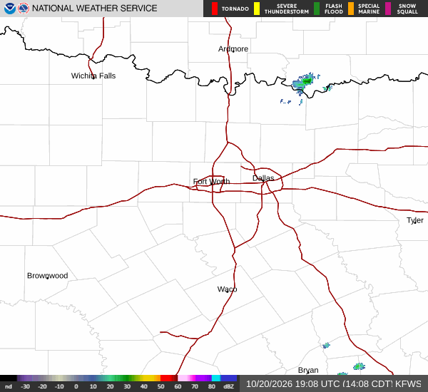
As of this Wednesday morning, the air temperature stands at 81F, but the oppressive humidity makes it feel much hotter. The relative humidity is at 89%, with a dew point of 77F, creating a muggy atmosphere. The wind is blowing from the northeast at 6 mph, with gusts reaching up to 11 mph. The sky is currently clear, offering no relief from the sun's intensity.
Forecast for Today and Tomorrow
Today, the sun will remain out with a high near 100F. The heat index values are expected to climb as high as 108, making it feel significantly hotter than the actual air temperature. Northeast winds will persist at 5 to 10 mph. The chance of precipitation is minimal at just 2%.
Tonight, skies will remain clear with a low around 76F. The heat index will stay elevated, reaching as high as 107. Winds will shift to the east-northeast at 5 to 10 mph. Residents should expect continued warmth and humidity through the night.
Tomorrow, conditions will remain sunny with a high near 96F. While slightly cooler than today, the heat index will still reach 102. East winds will average around 10 mph. The chance of rain is negligible at 1%.