*As of Sep 5, 2 PM local time.*
Dangerous Heat Conditions Underway
Residents in Howe, TX, are currently facing dangerous heat levels as a Heat Advisory remains active for the area. The National Weather Service has issued this moderate-severity alert due to dangerously high heat index values expected through the evening of September 6.
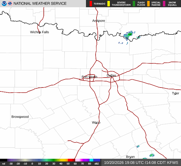
As of this afternoon on Saturday, the air temperature stands at 95F, but the combination of heat and humidity makes it feel like 100F. Relative humidity is at 42%, with a dew point of 68F. Winds are light from the south-southeast at 7 mph, with gusts reaching 7 mph, under mainly clear skies.
Forecast for Today and Tomorrow
The National Weather Service forecasts mostly sunny conditions for today, with a high near 98F. The heat index is expected to reach as high as 102 during the day. South-southeast winds will be around 5 mph. There is only a 3% chance of precipitation today.
Tonight, skies will clear to mostly clear conditions, allowing temperatures to drop to a low near 77F. The heat index will remain elevated, with values as high as 100. Winds will shift to light south-southeast breezes between 0 and 5 mph. The chance of precipitation remains very low at 3%.
Tomorrow, the heat will persist with sunny skies and a high near 99F. This is where conditions become most critical, as the heat index is forecast to peak at 103. Winds will be variable, coming from the east at speeds between 0 and 10 mph.
The chance of rain is minimal at 4%. Tomorrow night will see mostly clear skies with a low around 77F, though temperatures may rise slightly to around 79 overnight. The heat index will stay high at 101, with south-southeast winds of 0 to 5 mph.