Back to Weather

5-day forecast / Howe, TX

SaturdaySunny97° / 77° 1%
SundaySlight Chance Showers And Thunderstorms94° / 74° 46%
MondayChance Showers And Thunderstorms92° / 73° 41%
TuesdaySlight Chance Rain Showers then Slight Chance Showers And Thunderstorms91° / 72° 17%
WednesdayMostly Sunny then Slight Chance Showers And Thunderstorms91° / 74° 16%

Dangerous Heat Index Hits 101 in Howe as Humidity Lingers - Jul 11, 4 PM

Howe's hometown forecast, updated every four hours — straight from the National Weather Service.

Howe residents face dangerous heat with a feels-like temperature of 101F today. Humidity remains high with a dew point of 72F. Scattered storms are possible tomorrow.

Bree Tanaka

July 11, 20262 min read

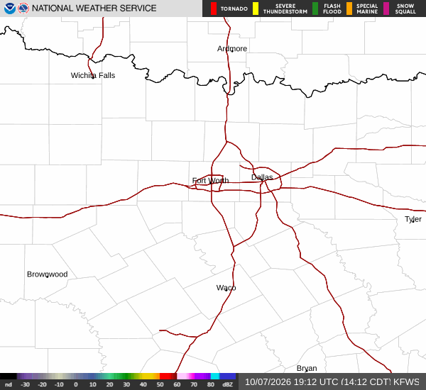
National Weather Service radar for North Texas (KFWS)

*As of Jul 11, 4 PM local time.*

Dangerous Heat and High Humidity

The heat is intensifying in Howe, TX, creating hazardous conditions for outdoor activities. Current air temperatures are at 93F, but the combination of heat and moisture pushes the feels-like temperature to a dangerous 101F. This significant heat index value means that the body struggles to cool itself effectively through sweat evaporation.

Humidity levels are also quite high, with a dew point of 72F and relative humidity at 50%. These conditions contribute to the oppressive feel of the afternoon air. Winds are currently blowing from the south at 9 mph, with gusts reaching up to 14 mph, providing minimal relief from the warmth. The sky remains partly cloudy, allowing ample sunshine to drive temperatures upward.

Forecast for Today and Tomorrow

Today will see sunny skies with a high near 97F. The National Weather Service indicates heat index values could reach as high as 102. Temperatures will drop to a low near 77F tonight, though they may rise to around 79F during the overnight hours. The heat index will remain elevated at 101F even after sunset. Winds will continue from the south at 5 to 10 mph.
Tomorrow brings a shift in conditions. A chance of showers and thunderstorms is expected after 7am, with mostly sunny skies otherwise. The high will be near 94F, with temperatures falling to around 92F in the afternoon. Heat index values may climb to 103F. There is a 50% chance of precipitation, with new rainfall amounts less than a tenth of an inch possible.

No active weather alerts are currently in effect for this area. However, the persistent heat requires caution. Residents should stay hydrated and limit midday exertion to avoid heat-related illnesses. Check on neighbors, especially the elderly, who may be more vulnerable to the high temperatures. As the week progresses, keep an eye on the sky for developing storms, particularly tomorrow when moisture increases.

National Weather Service radar for North Texas (KFWS)

Sources

https://radar.weather.gov

https://api.weather.gov

https://open-meteo.com

Share

Bree Tanaka

Bree Tanaka covers weather, the outdoors, and seasonal life in and around Howe.

Related Stories

More in Sport