*As of Jul 13, 12 PM local time.*
Muggy Conditions and Storm Potential
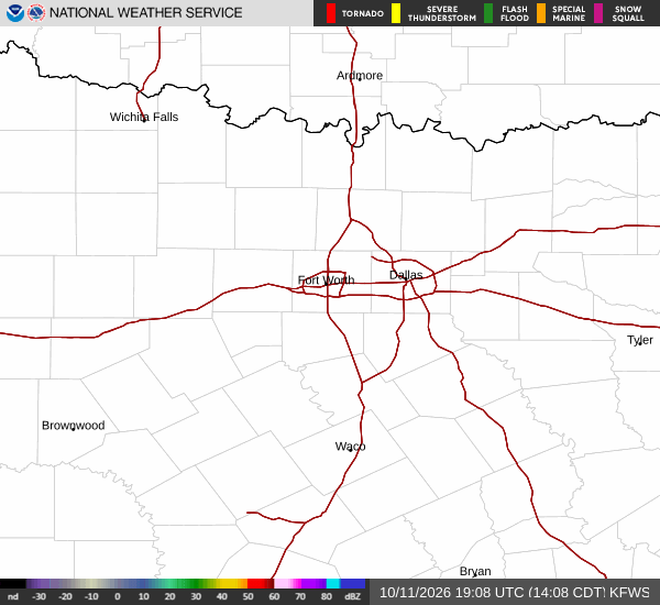
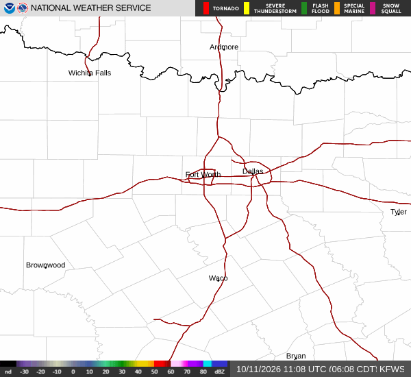
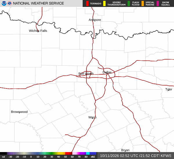
The air in Howe, TX, is currently quite heavy with moisture. Right now, the thermometer reads 81F, but the heat index makes it feel like 85F. This discomfort is driven by a dew point of 73F and a relative humidity of 79%. Winds are light, blowing at 3 mph with gusts reaching 2 mph, under a sky that is mostly cloudy.
Looking ahead, the chance of precipitation remains a key factor for the area. Today, there is a 45% chance of showers and thunderstorms. Highs will reach near 85F, while lows drop to around 71F.
The National Weather Service indicates a 50% chance of precipitation today, with new rainfall amounts between a quarter and half of an inch possible. Winds are expected to shift to the east southeast at 5 to 10 mph.
Tonight, the risk decreases slightly. There is a slight chance of showers and thunderstorms before 10pm. Skies will be partly cloudy with a low around 71F. The chance of precipitation drops to 20%, with less than a tenth of an inch of rain possible. Winds will ease to 0 to 5 mph from the east southeast.
Tomorrow’s Heat and Light Rain
Conditions will warm significantly tomorrow. Expect a high near 91F, with temperatures falling to around 89F in the afternoon. The National Weather Service notes heat index values as high as 98F. Skies will be mostly sunny, with a slight chance of showers and thunderstorms after 1pm. The chance of precipitation is 20%, and winds will be from the east at 0 to 5 mph.