*As of Jul 14, 4 AM local time.*
Current Conditions and Humidity
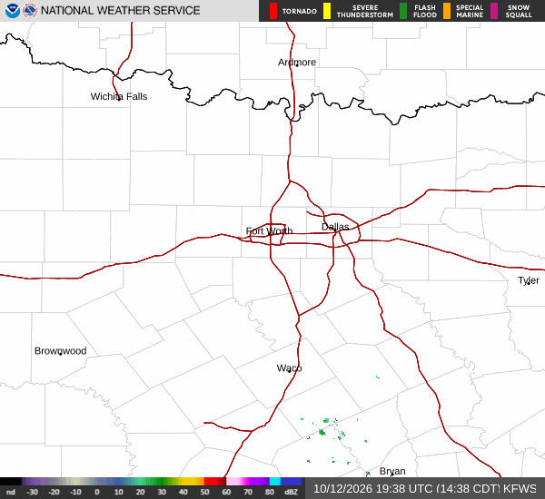
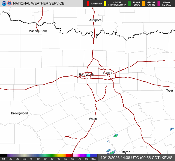
It is currently Tuesday overnight in Howe, TX, and the air is thick with moisture. The relative humidity has reached 99%, creating a muggy atmosphere that feels heavier than the actual temperature suggests. The current air temperature is 72F, but the feels-like temperature is 74F due to the high dew point of 72F.
Winds are light, blowing from the east at 5 mph with gusts reaching 10 mph. Despite the heavy moisture in the air, the sky remains clear at this hour.
Forecast for Today and Tomorrow
Conditions will shift as the day progresses. Today is expected to be mostly sunny with a high near 87F. However, there is a chance of showers and thunderstorms developing after 1pm. The chance of precipitation is listed at 26%, with new rainfall amounts less than a tenth of an inch possible. Temperatures may fall to around 85F in the afternoon as clouds move in.
Tonight, the sky will become mostly clear with a low around 71F. There is a slight chance of showers and thunderstorms before 10pm, with precipitation chances at 20%. Winds will shift to the south, ranging from 0 to 10 mph. Temperatures will rise to around 72F overnight.
Tomorrow brings warmer air and increased storm potential. The high will reach near 88F, with temperatures dropping to around 86F in the afternoon. The chance of precipitation rises to 48%, with a slight chance of rain showers between 10am and 1pm, followed by a chance of showers and thunderstorms between 1pm and 4pm.
Winds will be light from the south southwest at 0 to 5 mph. Rainfall totals are expected to remain under a tenth of an inch.