Heat Persists as Storm Bypasses Region
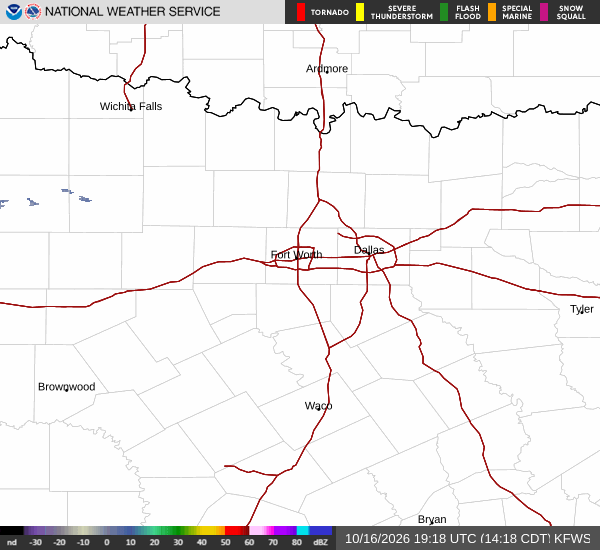
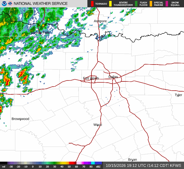
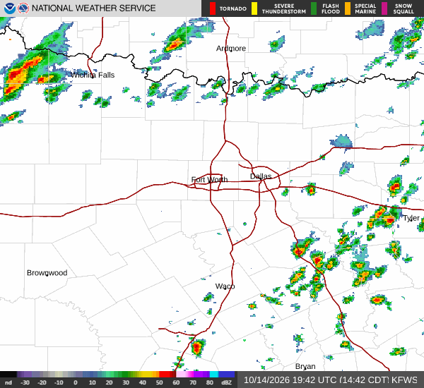
Tropical Storm Edouard is tracking toward the Texas-Louisiana border, but its path keeps Howe largely out of the direct rain band. The storm is expected to turn west-northwest and weaken as it moves inland, meaning this area will remain hot and mostly dry.
While the system may break the recent run of extreme heat for parts of the state, Howe is not seeing significant rainfall impacts. Current conditions show an air temperature of 90F, feeling like 95F, with relative humidity at 52% and a dew point of 70F. Winds are light at 5 mph, and the sky is clear.
Today’s Forecast and Safety
Today will feature a high near 100F and a low near 76F. The sky will be mostly sunny, with a slight chance of rain showers between 1pm and 4pm, followed by a slight chance of showers and thunderstorms. The heat index may reach 103F, so it is important to stay hydrated and limit midday exertion.
South southeast winds will blow at 5 to 10 mph. Tonight, temperatures will drop to around 76F before rising to 78F overnight. The sky will remain mostly clear, with a slight chance of showers and thunderstorms before 1am.
There are no active weather alerts in effect for the area.