Back to Weather

5-day forecast / Howe, TX

SundaySunny97° / 77° 3%
MondaySunny99° / 79°
TuesdaySunny101° / 79° 1%
WednesdaySunny101° / 79° 1%
ThursdaySunny99° / 79°

Dangerous Heat Index Hits 101F in Howe as Temperatures Climb - Jul 18, 4 PM

Howe's hometown forecast, updated every four hours — straight from the National Weather Service.

Howe residents face dangerous heat with a current feels-like temperature of 101F. Conditions remain hot and humid through tomorrow with highs near 97F.

Bree Tanaka

July 18, 20262 min read

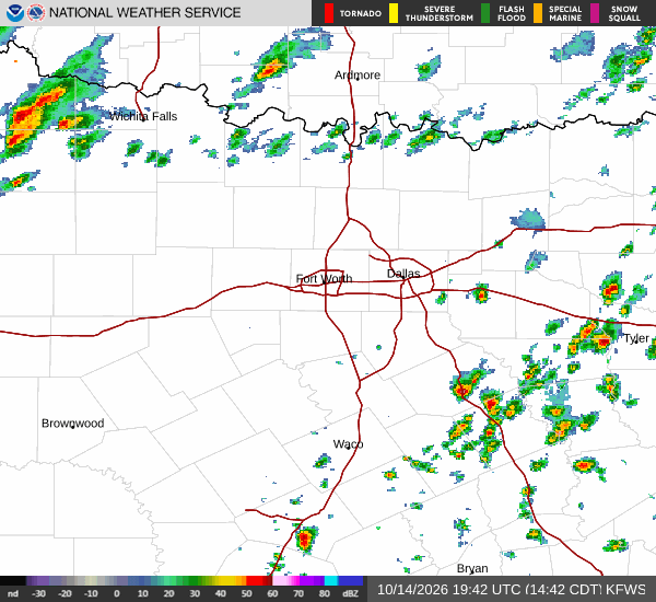
National Weather Service radar for North Texas (KFWS)

*As of Jul 18, 4 PM local time.*

Current Conditions and Heat Risk

The sun is beating down on Howe, TX, creating hazardous heat conditions this afternoon. The air temperature is currently 93F, but the combination of heat and moisture makes it feel significantly hotter. The heat index, or "feels like" temperature, is at 101F. This level of heat stress poses a serious risk to anyone spending time outdoors without proper precautions.

Humidity levels are also contributing to the discomfort. The relative humidity is sitting at 50%, with a dew point of 72F. While the sky remains clear, the muggy air traps heat, making it difficult for the body to cool itself naturally. Winds are blowing from the south at 15 mph, with gusts reaching 16 mph, providing minimal relief from the oppressive warmth.

Forecast for Today and Tomorrow

The hot weather is not expected to break anytime soon. Today, skies will remain mostly sunny with a high near 94F. The National Weather Service indicates heat index values will reach as high as 99F.

South winds will persist at 10 to 15 mph. The chance of precipitation is negligible at just 2%. Temperatures will drop to a low near 77F tonight, though they may rise slightly to around 79F during the overnight hours.

Skies will become partly cloudy, and winds will ease to 5 to 10 mph from the south.

Tomorrow, the heat will intensify further. Expect sunny skies with a high near 97F. The heat index is forecast to climb to 102F, marking a dangerous peak in heat stress.
South southwest winds will be light, ranging from 5 to 10 mph. The chance of rain remains extremely low at 3%. Temperatures will fall to a low near 77F tomorrow night, with skies becoming mostly clear and winds staying between 5 to 10 mph from the south.

Safety Reminders

With heat index values exceeding 100F, it is critical to prioritize safety. Stay hydrated by drinking water frequently, even if you do not feel thirsty. Limit outdoor exertion, especially during the midday hours when the sun is strongest.

Seek air-conditioned environments whenever possible. Check on elderly neighbors and those who may be vulnerable to heat-related illnesses. Never leave people or pets in parked vehicles, as interior temperatures can rise rapidly to life-threatening levels.

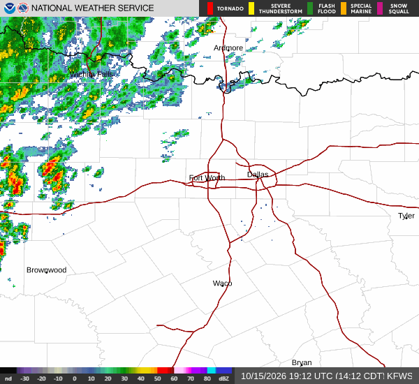
National Weather Service radar for North Texas (KFWS)

Sources

https://radar.weather.gov

https://api.weather.gov

https://open-meteo.com

Share

Bree Tanaka

Bree Tanaka covers weather, the outdoors, and seasonal life in and around Howe.

Related Stories

More in Sport