Back to Weather

5-day forecast / Howe, TX

TuesdaySlight Chance Rain Showers101° / 76° 10%
WednesdaySunny95° / 75° 7%
ThursdayChance Rain Showers then Slight Chance Showers And Thunderstorms92° / 75° 32%
FridaySlight Chance Rain Showers95° / 75° 10%
SaturdaySunny97° / 76° 5%

Howe, TX Weather: Scorching Heat Persists With Highs Near 98 - Aug 31, 2 PM

Howe's hometown forecast, updated every four hours — straight from the National Weather Service.

Extreme heat continues in Howe with current feels-like temperatures at 97F. Today and tomorrow will see highs near 98F with sunny skies and no significant rain expected.

Bree Tanaka

August 31, 20262 min read

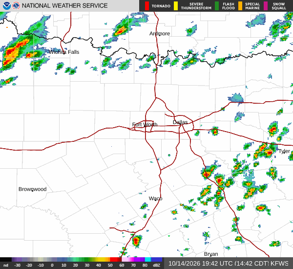
National Weather Service radar for North Texas (KFWS)

*As of Aug 31, 2 PM local time.*

Current Conditions and Heat Index

Howe is experiencing very hot conditions this afternoon, with the air temperature sitting at 97F. The heat index matches the actual air temperature at 97F, indicating that while humidity is relatively low, the direct solar intensity makes it feel intensely warm right now. Relative humidity is currently at 31%, with a dew point of 61F.

Winds are blowing from the south at 11 mph, with gusts reaching up to 22 mph, providing some minimal relief against the clear sky.

Today and Tonight Forecast

The National Weather Service forecasts sunny skies for today, with a high near 98F. The heat index is expected to climb as high as 101 during the peak afternoon hours. South winds will remain around 10 mph throughout the day. There is a zero percent chance of precipitation, ensuring dry conditions continue.

As evening approaches, skies will become mostly clear. Temperatures will drop to a low near 77F overnight. However, heat will linger, with temperatures rising slightly to around 79F later in the night. The heat index may reach as high as 99 during this period. Winds will shift to south-southeast at 5 to 10 mph.
Tomorrow Outlook and Safety

Tomorrow will mirror today’s intensity with sunny skies and a high near 98F. The heat index is projected to peak at an even higher 104, making it feel significantly hotter than the actual air temperature. South-southeast winds will persist at 5 to 10 mph. Precipitation chances remain negligible at just 2%.

Overnight into tomorrow night, skies will be mostly clear with a low around 76F. Temperatures may rise slightly to around 78F later in the night, with heat index values reaching up to 102. Southeast winds will continue at 5 to 10 mph.

There are no active National Weather Service or NOAA weather alerts for this area. Despite the lack of official warnings, the persistent high heat indices necessitate caution. Residents should stay hydrated and limit prolonged exertion during the hottest parts of the day. Checking on elderly neighbors and ensuring pets have access to cool water is also advisable as temperatures remain dangerously high.

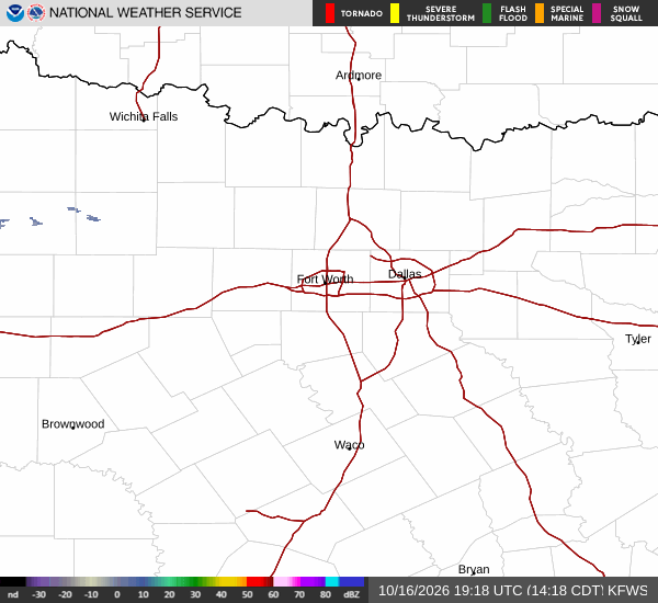
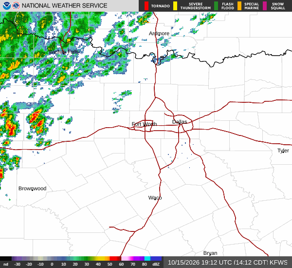
National Weather Service radar for North Texas (KFWS)

Sources

https://radar.weather.gov

https://api.weather.gov

https://open-meteo.com

Share

Bree Tanaka

Bree Tanaka covers weather, the outdoors, and seasonal life in and around Howe.

Related Stories

Weather

Howe Remains Hot and Dry as Tropical Storm Edouard Tracks South

Howe residents can expect continued heat and mostly sunny skies as Tropical Storm Edouard passes well to the south. Current temperatures are 90F, with highs near 100F today and a slight chance of brief showers.

Bree TanakaSeptember 1, 20262 min read

More in Sport